Flight times in the Southern Hemisphere. Yawn.

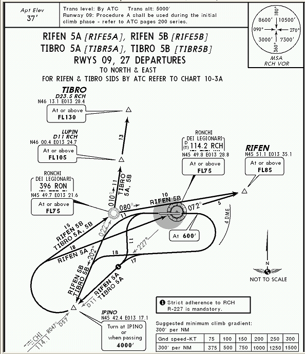
How can you calculate an A to B distance when pilots are flying approach plates like these?
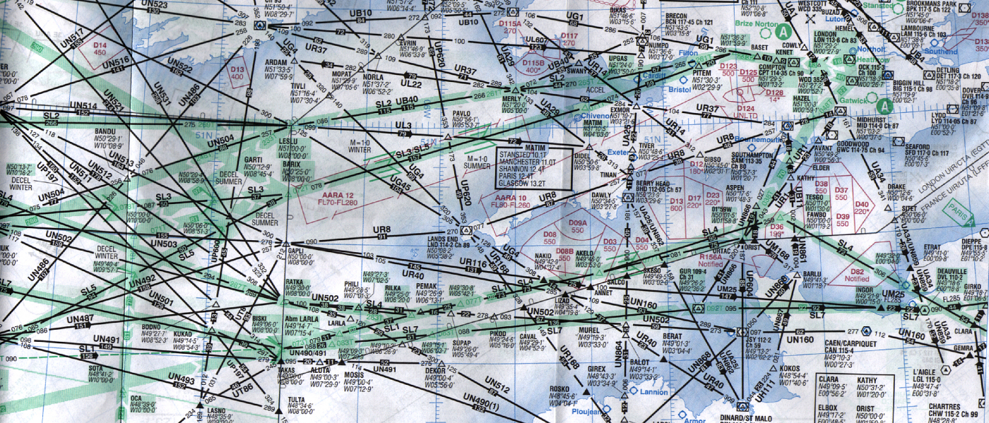
Using enroute 'highways' like these?
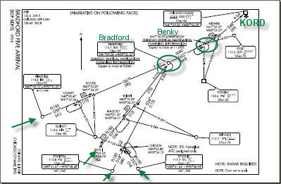
Joining non direct highways like these?

You do not fly direct. You follow the route you are given which the controllers choose and change for you based on traffic they already have.
If the wind is from a different direction your approach could be a huge dog leg to the other side of the airport to get you in line with all the other traffic.
Jet streams, wind, flight levels, ambient air conditions, payload.
Its total nonsense. There's so much room for wiggle that pilots just punch whatever into the FMS and go back to texting their divorce lawyers. As for flight time, it takes as long as it takes depending on how much the controller wants to mess you around and a myriad of other variables.