You have to point out the 59 meter curvature, not ask me for the data that has already been posted here.
The caption for the photographs says:
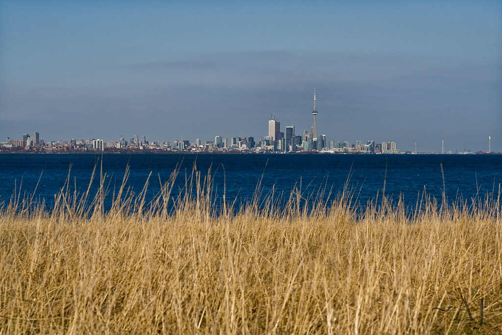
https://www.flickr.com/photos/chris_baird/14067034302Taken from a viewing stand at Beamer Memorial Conservation Area, Grimsby
DISTANCE 55 KM ; CURVATURE OF 59 METERS
Beamer's Falls #071114
River Forty Mile Creek
Class Ramp
Size Medium
Height: 45
Crest: 20
The Niagara Peninsula Conservation Authority acquired Beamer Memorial Conservation Area in 1964, to protect and preserve the Niagara Escarpment and the Forty-Mile Creek valley system. The site is home to a variety of Carolinian plants and wildlife.
http://www.gowaterfalling.com/waterfalls/beamer.shtmlTherefore, from 45 meters in altitude, we should see a huge 59 meter curvature right in front of us, and a visual obstacle of some 65 meters.
Where is the 59 meter curvature?

There's nowhere else to go in Beamer Falls, Grimsby. You have the 45 meter viewing stand, the 110 meter waterfall, the 170 meters where Mrs. Kerry-Ann Lecky-Hepburn was located, as per the RE's telephone call (which I had to take for granted), or the very top at 213 meters.
Even at an altitude of 170 meters, you should see the following:
An ascending slope, a huge midpoint 59 meter visual obstacle and a descending slope all the way to Toronto.
None of these features are present in the photographs.
The surface of lake Ontario is flat.
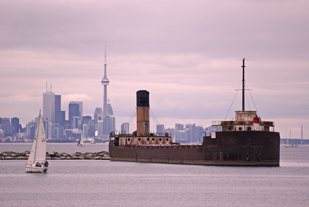
More additional pics:

Another photograph signed Ms. Kerry-Ann Lecky Hepburn, no curvature whatsoever across a distance of 55 km (Grimsby-Toronto), the boat is not part of either an ascending slope or a descending slope.
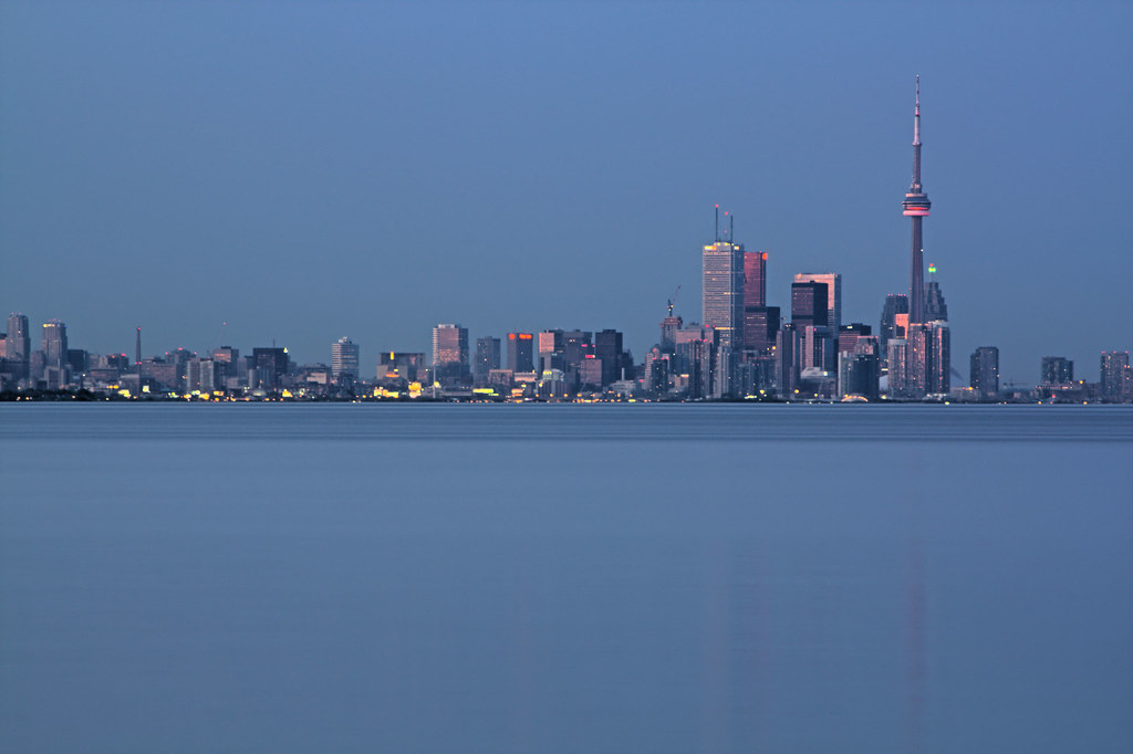
Show your readers where the 4.5 meter curvature is located:
Port Credit - Toronto, 14.5 km, 4 meters curvature, absolutely nonexistent, there isn't one centimeter/one inch of curvature over this distance:
Show to your readers where the 1.8 meter curvature is located (Etobicoke - Toronto, 9.6 km distance):
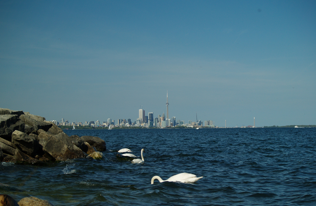
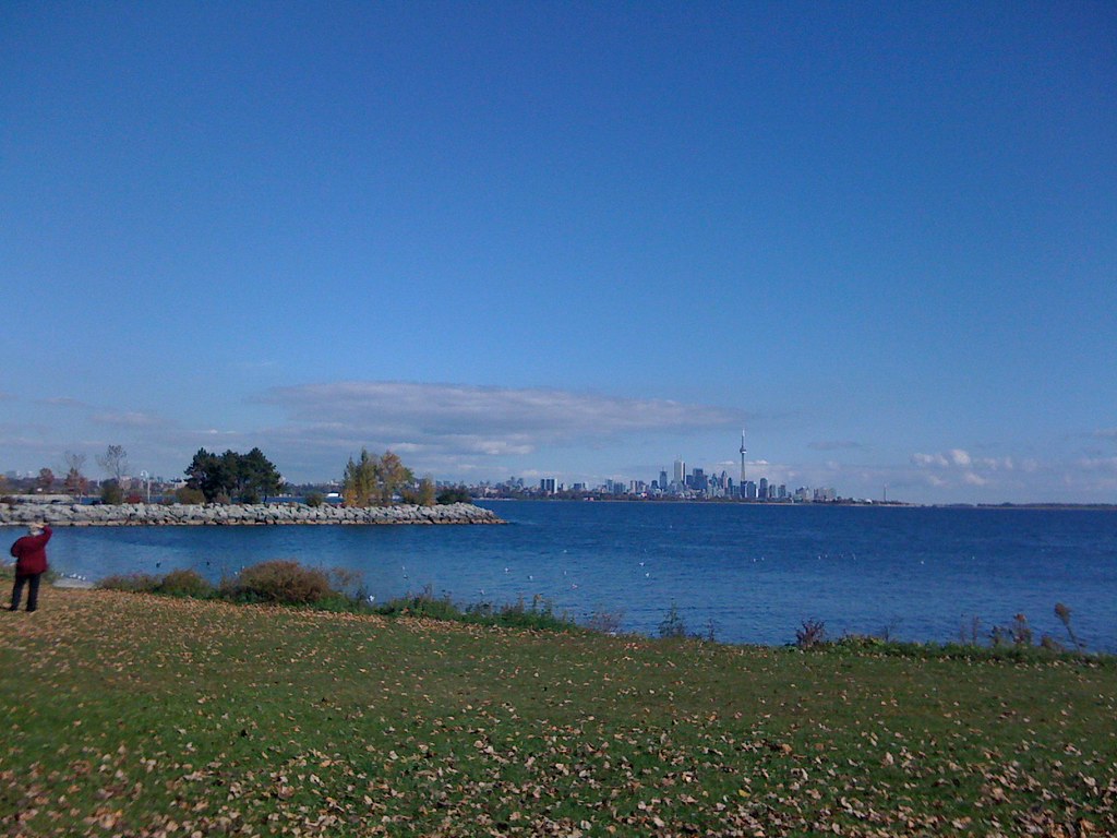
There isn't a single cm of curvature across lake Ontario.