I want to thank Levee for posting this:
This is a perfect example of a curved Earth.
If you look at the horizon, you notice how the ground seems to just cut off at the horizon? It looks like a hill, rolling up until it hits the peak.
Also
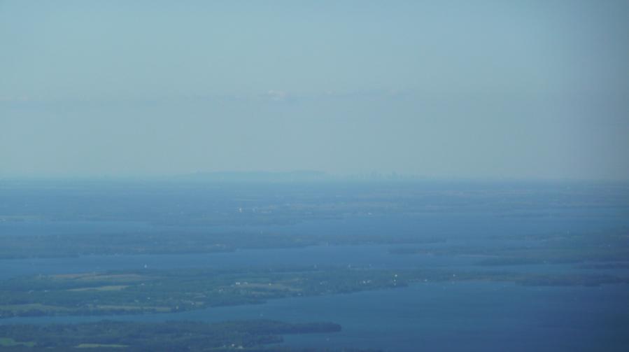
BURLINGTON (VERMONT) - MONTREAL, 117 KM
CURVATURE: 268 METERS
HEIGHT OF PHOTOGRAPHER 300 FEET = 91.4 METERS, WE ROUND OFF TO 100 METERS
TALLEST BUILDING IN MONTREAL: 225 METERS
The height of the photographer is not 300 feet. Those trees on the land closest to the bottom edge of the picture means he's several THOUSAND feet in the air.
But hey, let's not bother with that one. So he had no idea what the height was and guessed.
Let's go to page 3 of the thread where Levee got the picture originally and you get...
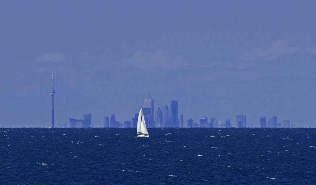
Hmmm...
Water? Check.
Clear skyline? Check.
50KM? Check.
At water's edge? Check.
So Levee... does that end the debate? Or did you conveniently ignore that page?
Oh and Levee...
Thank you for introducing me to that site. Lots of great pictures AND you see them as valid.