Hello,
The supposed inconsistency between the distances measured on the (supposedly round) Earth and the most commonly used model of FE has been a strikingly overused topic, especially lately. Need I remind anyone of TheJackel's "all I need is a time speed distance circular calculator you are pleading for credibility lol..

"? If so, I just have. If not, let us proceed.
The map considered for this solution is:
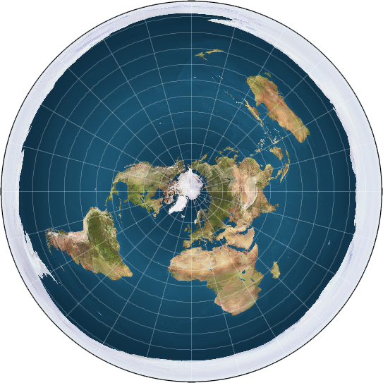
The solution itself bases on the fact that, due to bendy light, rays hit the Earth at different angles, and thus the projections of the same length on the surface will differ. They will be longer as we approach the rim. Thus, what we currently consider a metre will appear considerably longer, leading us to an illusion of RE distances. The definition of our units of length is at fault - it is an application of optics (which already assume perfectly straight light rays, hitting the round Earth at approximately 90 degrees). An actual unit of length should take Bendy Light into account, and thus consider an apparently longer distance to be - more or less - the same as something smaller closer to the pole.
The following diagram explains the problem in detail:

Now, this would seem to be a baseless conclusion. And yes, you
would be right, if it weren't for the fact that many RE'ers favourite map* - Google Maps - confirms it. Just have a look at these screens, both taken at the same objective zoom:


Oh, so 1000km is approximately the same as 200km in different places. How very peculiar. As you can see, it's the RE model that's inconsistent, not only with reality, but even with itself!
A round Earth is a geographical impossibility. That is all.